
 Popular Categories
Flexible Payments
Buy Now. Pay Later. 0% Interest

Buy Now. Pay Later. 0% Interest

On orders over $125
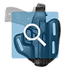
Holster Shopping Made Easy
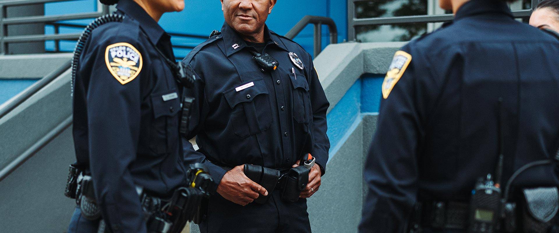
For over 50 years, Galls has been the trusted source for uniforms, tactical gear, and essential equipment for America�s public safety professionals. From law enforcement to firefighters, EMS, military, and security personnel, we support those who protect and serve with high-quality, reliable products.
As a leading tactical gear supplier, we offer an extensive range of in-stock uniforms and equipment that ship quickly�often the same or next day. Need custom apparel for your team? Our convenient in-house customization services provide tailored uniforms to meet your organization�s specific needs.
Shop our site to find everything from professional clothing and duty gear to body armor, outerwear, and communication equipment. Whether you�re in law enforcement, emergency response, corrections, or fire safety, Galls stands out as the trusted supplier of the gear you need to stay prepared and protected. Join over a million public safety professionals who choose Galls every year for their uniform and gear needs. Explore our selection and experience a fast, easy ordering process designed for those who serve.